Why can’t the Volga River be ‘cancelled’?
Which river is the main waterway of Russia
There has been a lot of debate among residents of the Volga Region on the topic of which river flows into which: the Kama into the Volga or the Volga into the Kama? The Volga River, which carries its waters into the Caspian Sea, is used to be considered the main waterway of Russia. However, scientists give an unambiguous answer — in fact, it is the Volga that flows into the Kama, and some even believe that the Volga Region, like other regions downstream, would be more correct to call the Kama Region. Despite this, the role of the “great Russian river” should still be left to the Volga, argues Alexander Ovchinnikov, Candidate of Historical Sciences, in the author's column for Realnoe Vremya.
“If Moscow had originated in the Urals, the “great Russian river” would have been considered the “Kama Matushka”
Everything is both simple and complicated here. According to the most widespread theoretical approach in modern social sciences, the so-called constructivism, it is not the landscape itself, including rivers, that forms ideas about itself, but on the contrary, first society creates certain images, which then “pounce” on the physical space and determine the parameters of its perception.
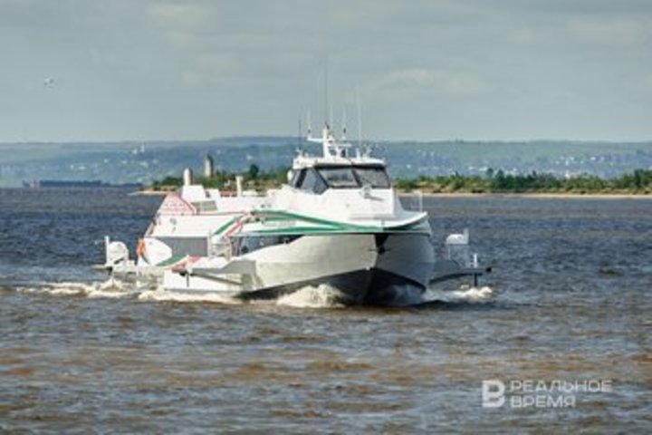
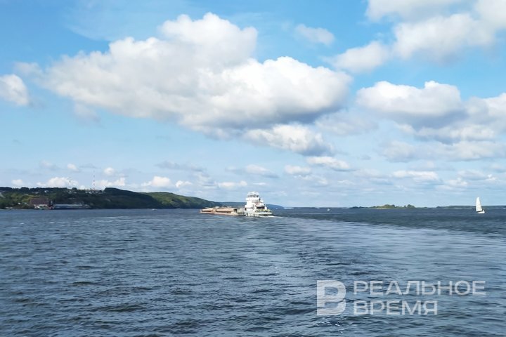
From the point of view of the physical and geographical space, which can be banally measured, everything is clear — the Volga flows into the Kama, which is definitely indicated by the hydrological data, and it is better to find out specific figures by referring to specialised publications. However, as a historian, I can state that the physical realities were “eclipsed” by the ideological and mythical construction, according to which “the Volga is the great Russian river flowing from the Valdai region to the Caspian Sea”. The work of scientists is to trace the history of this myth, i.e. to “deconstruct” it.
In antiquity and the Middle Ages, ancient and Arab authors knew well that sailing down the Kama River and further to the Caspian Sea (“Hyrcania Sea”) takes place along one river, which they called Ra, Itil or As Saqaliba (“Slavic river”). In the 13-14th centuries, the Moscow and Tver Russian principalities began to strengthen in the upper reaches of the Volga. As you know, Moscow won in the harsh internecine struggle. They annexed the Principality of Tver and the area of the source of the Volga, then “along the river” advanced to the Nizhny Novgorod Principality, and then again “along the river” reached the confluence of the Volga and Kama. In 1552, the Kazan Khanate was annexed, and a little later, in 1556, the Astrakhan Khanate. Such movement along the Volga waterway and the simultaneous development of new territories in science is commonly called the “frontier”. This phenomenon is geographically political, but political expediency “corrects” geographically correct knowledge.
If Moscow, which later became the capital of Russia, had arisen somewhere in the Urals region (present-day Udmurtia), then today it is the “Kama Matushka” that would be considered the “great Russian river” stretching from the Urals to the Caspian Sea. The same would have happened in the case of the formation of the Russian state around Veliky Novgorod, since Novgorod river pirates-ushkuyniks often went downstream through Vyatka further along the Kama River to the capitals of the Golden Horde. If Moscow had been annexed to Novgorod, and not vice versa, then now in the mass consciousness the ushkuyniks who began the development of the Volga region would be something like the American cowboys who made the Wild West.

“Some authors began to call the Volga the “Russian Nile”
The Volga began to be positioned as the “core of the Russian state” only since the 19th century due, oddly enough, at first glance, to the influence of the successes of European historical science and German romantic poetry and literature. It was a time of significant achievements in the study of the great river civilisations of the Nile valleys in Egypt, the Tigris and Euphrates in Mesopotamia, the Indus and Ganges in India, the Great Rome itself arose, let me remind you, on the banks of the Tiber. Russian scientists, striving to make the history of Russia “comparable” with the history of the “great kingdoms” of the past, began to try to find “their native” “river civilisations”. Naturally, the Dnieper River with its route from the Varangians to the Greeks became the natural and commercial and economic foundation of Kievan Rus. For Moscow Rus, the Volga became a “historically necessary” prestigious river, allegedly stretching from its sources (located, by the way, not far from Moscow) to the Caspian Sea.
We can venture to name the exact date of the beginning of the systematic, at the state level, construction of the image of the “great Russian Volga-Matushka River” (Mother Volga). This is the year 1856, when, on the initiative of Grand Duke Konstantin Nikolaevich, a so-called literary expedition was organised along the Volga, the purpose of which was to study and “paint” the Volga landscapes. This event copied scientific (in the understanding of that time) travels along European rivers, primarily the Rhine and the Danube, which largely predetermined the future images of the territory and the population living within it, including the methodology for searching for its ethnographic features, important historical events, etc. Earlier, in the 18th century, Peter I and Catherine II, who travelled along the Volga, did not seek to find the “foundations of Russianness” on the banks of the river.

With the development of shipping in the 19th century, tourism began to expand, and for tourists sailing, for example, from Tver to Astrakhan, it was very convenient to tell and show the “historical advance” of Russia to the East, the gradual annexation of new territories that had previously been other principalities opposing Moscow or were part of the Golden Horde. Such a “small nuance” as the fact that the Volga flows into the Kama River became not only inconvenient, but also extremely undesirable, especially since some authors then began to call the Volga the “Russian Nile”.
Nevertheless, the main prototype of the “Volga-Matushka” was the “Father Rhine” — a large river in Germany and one of the most significant rivers in Europe, which in the 19th century began to be intensively sung in romantic poems and ballads. The Rhine became a symbol of the “German spirit”, history, and hopes for the unification of the still disparate German lands at that time. The influence of the then German romantic culture on the Russian intelligentsia was great. The Russian aristocracy and nobility of the 19th century loved to relax in the resorts of the Rhine and be inspired by local nature and “antiquity”. It is clear that in Russia they also wanted to find “their own Rhine”, and much was borrowed from his image when constructing ideas about the Volga.

“The Volga has long become something more than just an object of geography”
Cities connected with the history of the Russian state on the banks of the Volga, such as Tver, Yaroslavl, Nizhny Novgorod, Simbirsk, Samara, Saratov, etc., in the guidebooks took the outlines of ancient Rhenish towns and castles, which by their very appearance told about the difficult history of Germany. The Volga began to be perceived as the border between “civilised Europe” and Asia, Moscow also “tried on” the role of Rome, whose possessions at one time bordered the “barbarian world” precisely along the Rhine River.
The Volga guidebooks, which were published in large numbers in the second half of the 19th century, were often “almost copied” from the Rhine guidebooks. The Volga landscapes that became popular in painting clearly went back to the Rhine patterns, and the poems glorifying the Volga were similar to the glorification of the Rhine by German poets.
Heine's poems, which glorified the legend of the girl Lorelei, who jumped from a cliff into the Rhine and became a siren, could play an important role in constructing the myth of the “Kazan queen” Söyembikä, who allegedly jumped from the now eponymous tower.
The image of the “father of the Rhine” played an important role in the formation of a common German identity. Let me remind you that the existence of the Rhine Demilitarised zone after World War I (where German troops could not be located) was used by radical politicians to “inflame” revanchist sentiments, and the withdrawal of Allied troops to the Rhine at the end of World War II was perceived by some forces as a “national catastrophe”.

Today, in Germany, the attitude towards the “Rhine father” is calmer. European countries are jointly fighting its pollution and shallowing. But even today it is impossible to imagine a situation where someone from the standpoint of hydrology will prove that the Rhine is “not really the Rhine”, but only a continuation of the river, previously considered its tributary, and, moreover, will talk about the need for some renaming and “rewriting history”.
As for the Volga, during the Great Patriotic War, its sacred image was further strengthened, and after the debunking of the cult of Stalin's personality, it became important to emphasise that the great battle that turned the tide of the war took place on the banks of the Volga, and not only in the area of Stalingrad located there (now Volgograd; students without knowledge of the modern name of the city of Stalingrad it is difficult to find on the map). The image of the Volga-Matushka combined with the image of the “Motherland”.
In the late Soviet period, the environmental problems of the Volga became a “catalyst” for nationalist sentiments, the centre of which was the “search” for those responsible for the disaster of the “great Russian river”.
It should be emphasised that, despite any scientific data, the Volga cannot be “cancelled”, and it is impossible to “cancel” it. This word and this waterway have long become something more than just an object of geography. It is a symbol of the country, the people, and renaming the Volga into the Kama is much more difficult than, for example, technically changing the width of the riverbed of these rivers at their confluence. The first is just as unnecessary and even more dangerous as the second.